Identity area
Reference code
PDM-09-63051
Title
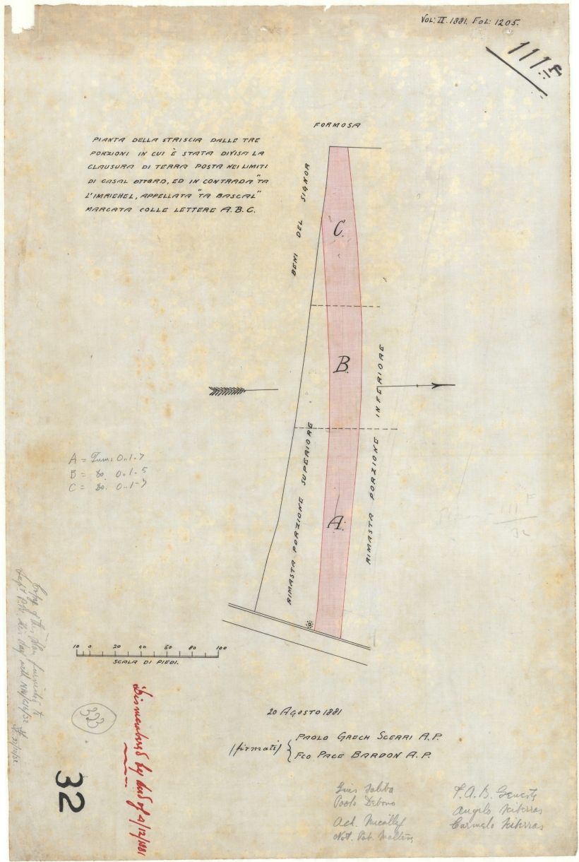
Plan of three strips of land in which a portion of land was divided at the limits of casal Attard in Ta Mriehel road, named Ta Bascal and shown with the letters A, B, C.
Date(s)
- 20/08/1881 (Creation)
Level of description
Item
Extent and medium
One Plan in Colour